The NOAA Fisheries Integrated Sea Scallop and HabCam Research Survey is in the books for 2022. Scientists and crew completed their work aboard the University of Delaware’s R/V Hugh R. Sharp on June 13, 2022.
The Atlantic sea scallop population is surveyed every summer by NOAA Fisheries and partnering research groups. This year those partners are the Coonamessett Farm Foundation, the Virginia Institute of Marine Science and the University of Massachusetts-Dartmouth School of Marine Science and Technology. Each partner surveys an assigned area using similar methods and a standardized survey design. Here, we are reporting results for the survey areas allocated to the NOAA Fisheries-based effort, led by the Northeast Fisheries Science Center.
Resulting data are used for fishery stock assessments, fishery management, and biological studies. Sea scallops are one of the most valuable commercial fishery species in the nation.
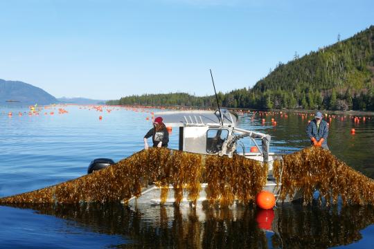
Leg 1 of the survey was conducted May 14 to 23 off the Mid-Atlantic and southern Georges Bank. Researchers deployed the stereo camera and sensor system known as HabCam V4.
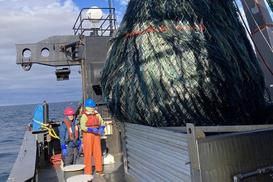
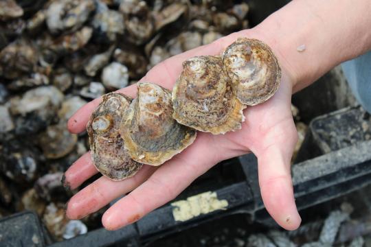
Leg 2 was conducted from May 25 to June 3, and Leg 3 operated from June 5 to June 13. On these legs, we deployed both HabCam V4 and a scallop dredge. The dredge is a standardized 8-foot wide New Bedford sea scallop dredge that collects sea scallops for biological analyses.
HabCam Survey Transect Completion by Cruise Leg
Overall, the survey completed 98 percent of the planned transects. Rough seas led to some lost time and required the Great South Channel HabCam transect to be modified slightly for Leg 3. Each leg of the cruise covered different areas:
- Leg 1 completed 1,124 nautical miles of HabCam survey transects—100 percent of the planned work—off the Mid-Atlantic and south of Closed Area I on Georges Bank
- Leg 2 covered 300 nautical miles of survey transects—100 percent of the planned work—on the northern flank of Georges Bank and in Closed Area II
- Leg 3 completed 300 nautical miles of survey track out of 341 nm scheduled—88 percent of the planned work— in the difficult and challenging Great South Channel and Closed Area I
Dredge Survey Completion by Region
Overall, the NOAA Fisheries survey completed 87 percent of planned stations, 120 of 138. All of those planned dredge stations were located in the southern New England and Georges Bank areas. The Mid-Atlantic dredge survey is conducted by the Virginia Institute of Marine Science.
Survey Transects and Stations


Detail of 2022 dredge stations completed by survey stratum. The sea scallop survey strata are subareas within the larger survey area, defined by depth.
| Stratum | COMPLETED | DROPPED | Grand Total | Percent Complete |
|
06460 |
2 |
0 |
2 |
100 |
|
06470 |
8 |
0 |
8 |
100 |
|
06490 |
8 |
0 |
8 |
100 |
|
06500 |
15 |
1 |
16 |
93.75 |
|
06510 |
9 |
0 |
9 |
100 |
|
06520 |
15 |
2 |
17 |
88.24 |
|
06530 |
9 |
2 |
11 |
81.82 |
|
06540 |
5 |
4 |
9 |
55.56 |
|
06550 |
9 |
0 |
9 |
100 |
|
06651 |
9 |
3 |
12 |
75 |
|
06661 |
9 |
1 |
10 |
90 |
|
06710 |
18 |
3 |
21 |
85.71 |
|
06720 |
2 |
1 |
3 |
66.67 |
|
06740 |
2 |
1 |
3 |
66.67 |
|
Grand Total |
120 |
18 |
138 |
86.96 |