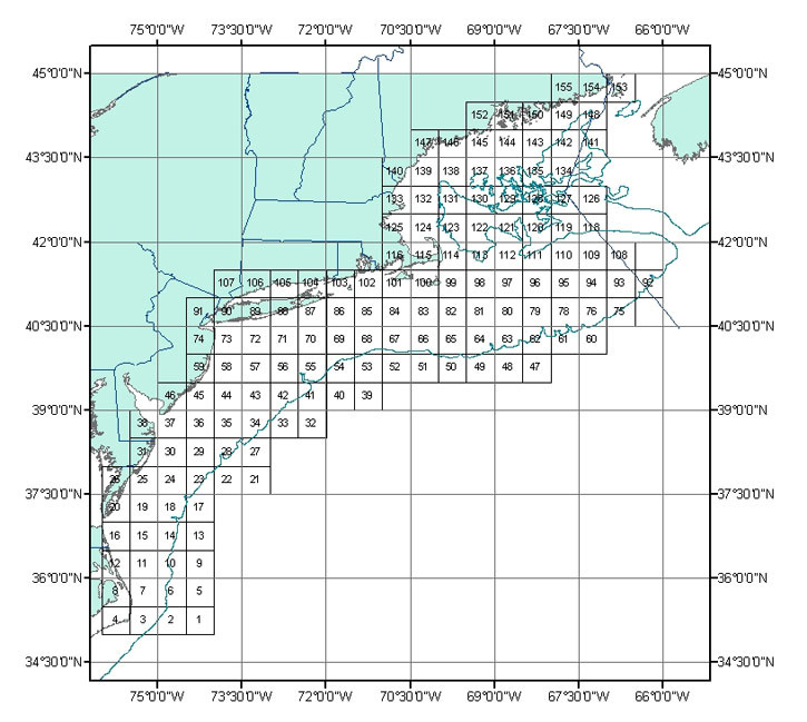
Greater Atlantic Region 30-min Squares
This image depicts the boundaries of the Greater Atlantic Region 30-min Squares.
This image depicts the boundaries of the Greater Atlantic Region 30-min Squares.

Because GIS projection and topology functions can change or generalize coordinates, these GIS files are considered to be approximate representations and are NOT an OFFICIAL record for exact regulated area boundaries. For information on the official legal definition refer to the Use Constraints metadata section.