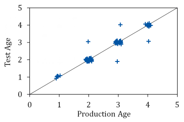
Field Fresh Blog: Science in Motion
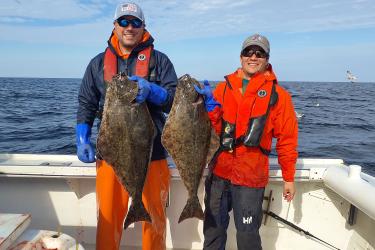
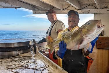
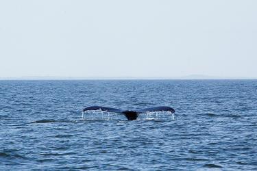
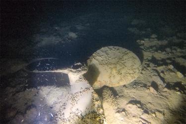
Large swells, bad jokes, glorious sunsets, a persistent blue shark, and a lost boat prop are just a few of field biologist Emma Fowler’s memorable moments during the fall Bottom Longline Survey aboard F/V Mary Elizabeth.