The other day in the car, I said to my husband, “The gliders are doing really well. Is it weird that I want something to go wrong so I can blog about it?”
He didn’t miss a beat. “Yes,” he said.
He’s right. The anxiety I feel when something goes wrong isn’t worth the blog material. With calm currents and little sea ice, the gliders are thankfully just gliding along. In this moment of glidering peace, let’s turn our attention to another science sensor: the Conductivity Temperature Depth sensor, or CTD.
The CTD measures exactly what it says: conductivity, temperature, and depth. From conductivity—a measure of how well seawater conducts electricity—we can calculate salinity using temperature and pressure measurements from the glider. Temperature and salinity are to oceanographers what fingerprints are to criminologists: we use them to identify particular water masses in the ocean.
What’s a “water mass,” you ask? Well, not all seawater is created equal. Geographic location, atmospheric conditions, and ocean circulation patterns create water masses with signature temperature and salinity profiles. These water masses occupy predictable locations in the ocean, but their boundaries can shift depending on the prevailing currents.
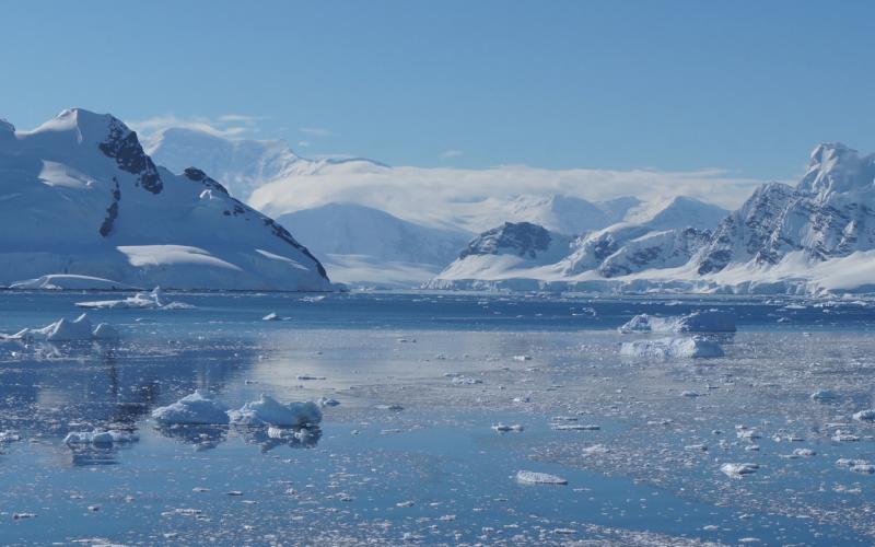
One water mass we study, called Upper Circumpolar Deep Water, lurks between 1,000 and 2,000 feet deep around the South Shetland Islands. This water mass is warm (well, compared to other water masses in Antarctica, but still frigid by human swimming standards), salty, and rich in nutrients. When strong currents push it closer to coastal areas, algae growth may increase. Increased algae biomass is an all-you-can-eat salad bar for hungry krill. We track the annual positions of this and other water masses to determine how they affect the quality and quantity of food that krill eat each year.
We don’t get enough data in real time to confidently identify water masses, but we get enough to see that gliders flying in different areas encounter different water masses. The two plots below show one glider flying south of the South Shetland Islands (Image 1) and another glider flying north of the islands (Image 2). Depth is black, temperature is blue, conductivity is pink, and chlorophyll is green. Chlorophyll looks similar in each plot—low at deep depths. But temperature and conductivity are different on the two sides of the islands. In the south, both temperature and conductivity are lowest when the glider is deepest. In the north, both temperature and conductivity are highest when the glider is deepest.

Image 1. Click to enlarge image.

We also get enough data in real time to make preliminary temperature-salinity (TS) plots, which are our water mass “fingerprints.” In image 3 (below) AMLR01 is the glider south of the islands, and AMLR02 is the glider north of the islands. South of the islands, most of the water is cold (-1oC, or 30oF) and salty. North of the islands, the TS plot looks more like a “U.” Most of the water is warmer here than in the south, and the salinity is highest and lowest when the water is warmest. As good science detectives, we’ll have to get these fingerprints back to the lab to confirm the identities of these unknown water masses. AMLR02 may be flying in Upper Circumpolar Deep Water, but we’ll have to analyze all the data to be sure.