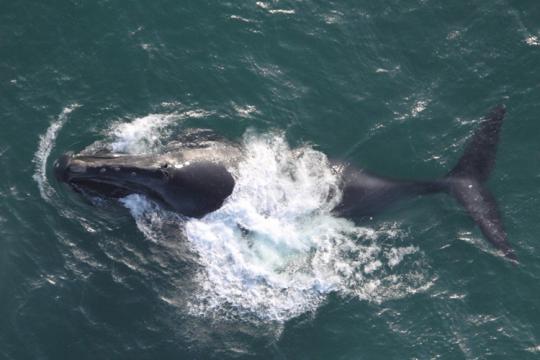
The goal of the Fisheries Research Survey Team is to provide up-to-date, fishery-independent data on an annual basis. Stock assessors use this information to help make science-based management decisions. Our surveys are a cornerstone of the Northwest Fisheries Science Center’s mission to ensure healthy ecosystems with productive and sustainable fisheries, as mandated by the Magnuson-Stevens Act.
We have collected vital data on the abundance, distribution, life-history (i.e., growth and reproduction), and diet for over 90 species of U.S. West Coast groundfish since 1998.
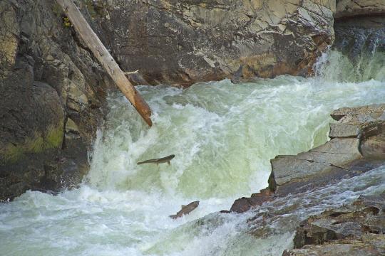
Because different species of groundfish live in different habitats on the seafloor – everything from soft mud to rocky, underwater pinnacles and seamounts – we use various techniques to sample them adequately.
The West Coast Groundfish Bottom Trawl Survey uses trawl nets towed along the seafloor to target the hundreds of groundfish species that live in large areas of low-relief habitats such as mud, sand, and gravel.
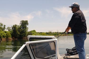
The Hook and Line Survey uses rod-and-reel gear to target groundfish species that live in or near rocky reefs, boulder fields, and massive undersea cliffs and pinnacles – areas that are difficult to survey using trawl nets.
Fisheries managers and scientists use data from both fishery-independent surveys to:
- Estimate the current stock status.
- Describe past population dynamics.
- Develop sustainable, science-based management plans.
- Forecast future trends under management alternatives.
- Support Next Generation Stock Assessments and create more holistic and ecosystem-linked fisheries models.
How We Do It
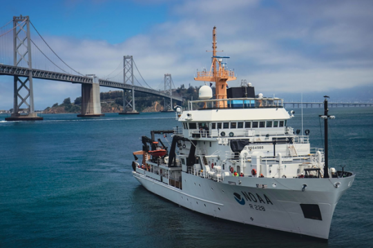
We conduct both of our fishery-independent surveys on chartered commercial and recreational fishing vessels. We partner closely with the fishing industry and rely on our captains' knowledge and expertise to collect comparable data each year. We also collaborate with various academic research institutions and government agencies to share information and resources.
Our vessels are equipped with an assortment of sensors to collect environmental data coastwide, including surface and near-bottom water temperatures, dissolved oxygen, salinity, and wind speed and direction. Combining environmental data with long-term fish catch information allows us to predict recruitment patterns, track overfished stocks, and assess the impact of changing environmental conditions on vulnerable populations and life-stages.
Our goal is to provide reliable information using the best available science to inform stock assessments and management decisions. Our data has contributed to more than 60 stock assessments, aiding in the recovery of 9 overfished groundfish species.
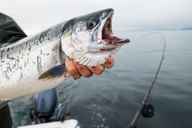
![Large groundfish on a measuring board showing length in inches.]()
Measuring a widow rockfish. Photo: NOAA Fisheries
Contact
Aimee Keller, Fisheries Research Survey Team