Data Set Map as jpg file
Document (DOC) | Southeast Fisheries Science Center (SEFSC)GUID: gov.noaa.nmfs.inport:51149 | Updated: August 9, 2022 | Published / External
Summary
Item Identification
Document Info
URLs
Catalog Details
Summary
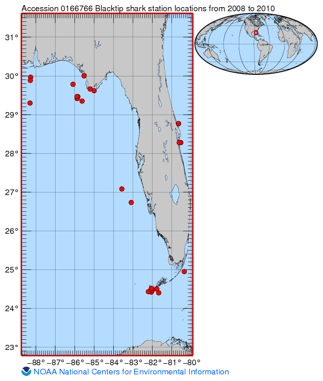
Provides a map of where sampling took place.
Document Information
Document Type
Map
URLs
URL 1
CC ID: 710934
| URL: | https://www.nodc.noaa.gov/archive/arc0112/0166766/1.1/about/0166766_map.jpg |
|---|---|
| URL Type: |
Browse Graphic
|
| Description: |
Map of Latitude/Longitude Values of when samples were taken for this dataset |