Sea Turtle Satellite Telemetry Data in North Atlantic Ocean from 2007-10-16 to 2010-11-26 (NCEI Accession 0159216)
Data Set (DS) | Southeast Fisheries Science Center (SEFSC)GUID: gov.noaa.nmfs.inport:30335 | Updated: October 3, 2024 | Published / External
Summary
Short Citation
Southeast Fisheries Science Center, 2025: Sea Turtle Satellite Telemetry Data in North Atlantic Ocean from 2007-10-16 to 2010-11-26 (NCEI Accession 0159216), https://www.fisheries.noaa.gov/inport/item/30335.
Full Citation Examples
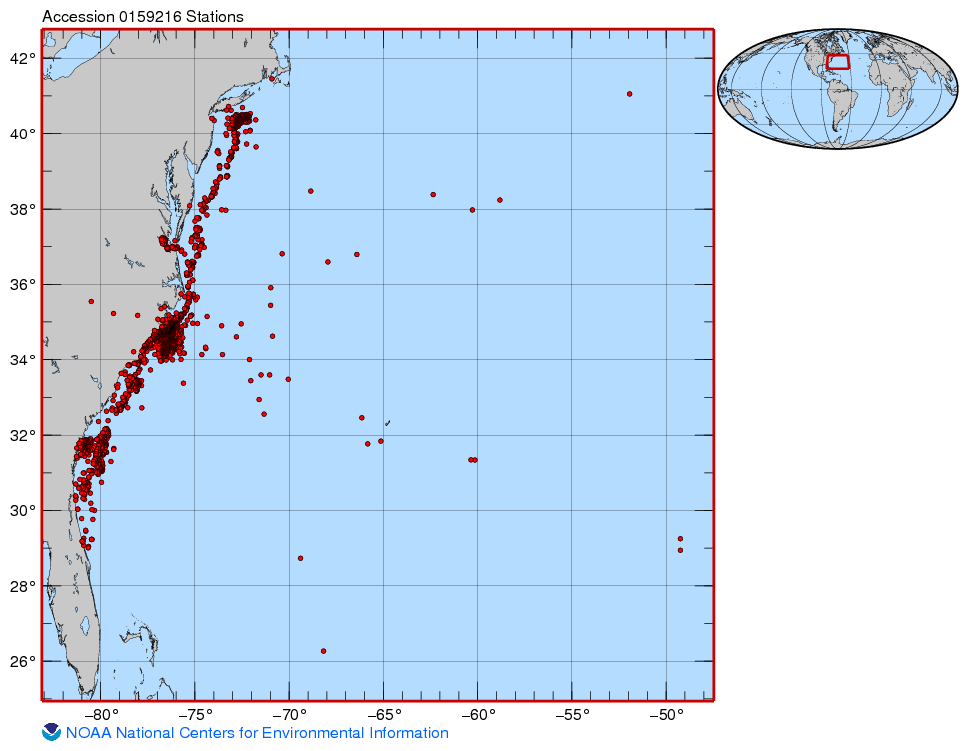
Sea turtles captured in various fishing gear (pound nets, long haul seines, gill nets) were outfitted with satellite transmitters so that their movements, migratory pathways and foraging behavior could be tracked. Despite their greater expense, satellite transmitters enable the researcher to determine long-range movements of sea turtles in comparison to acoustic and radio transmitters which delineate fine scale movements and habitat preferences. Furthermore, satellite transmitters have the capability of measuring and recording water temperature along with dive depth and duration of each tagged sea turtle. Finally, time spent on the surface can be measured and recorded.
PurposeTo describe the long-range movements, migratory pathways and overwintering and foraging areas of sea turtles tagged with satellite tags
Distribution Information
-
~ (4.952 MB)
None
NOAA and NCEI make no warranty, expressed or implied, regarding these data, nor does the fact of distribution constitute such a warranty. NOAA and NCEI cannot assume liability for any damages caused by any errors or omissions in these data. If appropriate, NCEI can only certify that data it distributes are an authentic copy of the records that were accepted for inclusion in the NCEI archives.
Controlled Theme Keywords
DOC/NOAA/NESDIS/NGDC, DOC/NOAA/NESDIS/NODC, DOC/NOAA/NMFS/SEFSC, SEA TURTLES, WATER TEMPERATURE
URLs
-
Home page of NOAA Satellite Information System
-
Sea Turtle Satellite Telemetry Data in North Atlantic Ocean from 2007-10-16 to 2010-11-26 (NCEI Accession 0159216)
Child Items
URLs
URL 1
| URL: | https://www.nesdis.noaa.gov/argos |
|---|---|
| Name: | ARGOS Page |
| URL Type: |
Online Resource
|
| File Resource Format: | html |
| Description: |
Home page of NOAA Satellite Information System |
URL 2
| URL: | https://www.ncei.noaa.gov/archive/accession/0159216/1.1/about/0159216_map.jpg |
|---|---|
| Name: | 0159216_map.jpg |
| URL Type: |
Browse Graphic
|
| File Resource Format: | jpg |
| Description: |
Map of sampling points data NCEI Accession 0159216 |
URL 3
| URL: | https://www.ncei.noaa.gov/archive/accession/0159216 |
|---|---|
| Name: | Landing Page Accession 0159216 |
| URL Type: |
Online Resource
|
| Description: |
Sea Turtle Satellite Telemetry Data in North Atlantic Ocean from 2007-10-16 to 2010-11-26 (NCEI Accession 0159216) |
Child Items
Rubric scores updated every 15m