The National Marine Fisheries Service (NMFS) announces a special temporary closure of the Cape Sarichef research area from March 15 through March 31, 2003. The research area is located northeast of Cape Sarichef on the northern side of Unimak Pass in the Bering Sea and Aleutian Islands (BSAI) management area (see below). Fishing with trawl, pot, or hook-and-line gear is not permitted inside the experimental area during the closure period, according to James W. Balsiger, Administrator, Alaska Region, NMFS.
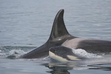
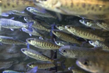
This special closure was recommended by the North Pacific Fishery Management Council to support NMFS research on the effect of fishing on the localized abundance of Pacific cod, providing information applicable to the Steller sea lion protection measures and furthering the goals and objectives of the Fishery Management Plan for the Groundfish Fishery of the BSAI. The closure is published in the Federal Register at 68 FR 11004, March 7, 2003. This research is expected to be repeated in March of 2004 - 2006, contingent upon NMFS obtaining continuing funding for the project.
In 2003, NMFS will be operating from the chartered F/V PACIFIC STAR from approximately March 13 through April 1. NMFS will be setting experimental pot gear both within the closed research area and within adjacent portions of the Cape Sarichef no-trawl zone. Efforts will be made to maintain radio contact with vessels fishing nearby to avoid any gear conflicts. Questions may be directed to Elizabeth Conners of the Alaska Fisheries Science Center [(206) 526-4465, liz.conners@noaa.gov], or directly to Peter Munro on the F/V PACIFIC STAR (radio call sign WCE5564).
The Cape Sarichef research area consists of waters located outside of the 10 nm no trawl area around Cape Sarichef, 164" 56.8' W long. and 54" 34.30' N lat, and inside the boundary of the following coordinates joined in order by straight lines:
54" 30' N lat., 165" 14' W long.;
54" 35' N lat., 165" 26' W long.;
54" 48' N lat., 165" 04' W long.;
54" 44' N lat., 164" 56' W long.; and,
54" 30' N lat., 165" 14' W long.
IB 03-24: NMFS Special Closure In Cape Sarichef Area, March 15-31
March 07, 2003 - 10:30 a.m.
Notice of a fishery management action.