National Estuaries Week takes place each September—this year, from September 16 to 23. It’s a chance to highlight the importance of some of the most productive ecosystems in the world. Estuaries provide habitat for wildlife and fish, create protective breeding grounds, and allow for migratory resting spots. Estuaries also provide ecosystem services such as natural filtration of pollution and flood protection.
NOAA’s Damage Assessment, Remediation, and Restoration Program works to protect, restore, and maintain habitat after oil spills and toxic waste releases. We conduct extensive restoration work among estuarine habitat. Read on to learn about recent projects that include estuary restoration.
Calcasieu Estuary (Louisiana)

Restoration activities are currently underway to restore nearly 400 acres of Long Point Marsh. The marsh restoration project consists of 392 acres of marsh and 8 acres of tidal creeks, as well as an 18-acre oyster reef project in the Calcasieu Lake.
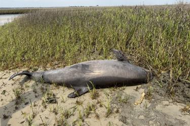
A 2006 oil spill in Lake Charles, Louisiana—a city rich in Creole culture—contaminated more than 150 miles of shoreline including beaches, residential and industrial waterfront, and marsh. Twenty-one million gallons of oil waste from storage tanks at the Citgo Refinery wastewater treatment plant spilled into the Calcasieu Estuary.
Additional estuarine restoration projects stemming from a different case settlement are in the restoration planning phase in Bayou d’Inde. Contaminants have polluted the bayou, a major tributary of the Calcasieu River, since the 1920s.
Hudson-Raritan Estuary (New York)

The Hudson-Raritan Estuary is an interconnected and dynamic ecosystem of tidal rivers including the Hudson, Passaic, and Raritan. These waterways host one of the most urbanized regions in the world, including more than 20 million people who live, work, and recreate in New York City. Centuries of urbanization and industrialization resulted in habitat loss, poor water quality, reduced wildlife, contamination of fisheries, and limited public access.
We have funded 36 restoration projects in New York , including building parks and access to public waterways, restoring migratory fish passage, and restoring salt marsh habitat.
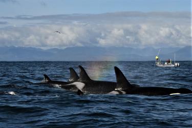
Thanks to these projects and other pollution-reduction programs, the estuary has improved over the last several decades. It is now home to a great diversity of wildlife and more than 200 species of fish.
Qwuloolt Estuary (Washington)

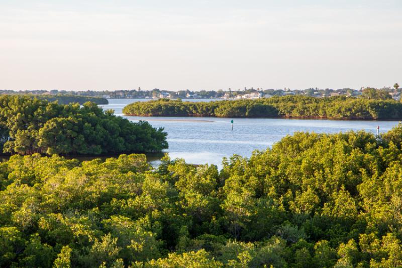
Hazardous waste polluted the Tulalip Landfill Superfund site—which is located within the boundaries of the Tulalip Indian Reservation. The Qwuloolt Estuary restoration project created more than 350 acres of estuarine marsh, and 15 miles of access to stream habitat for salmon. It reconnects a former marsh to provide critical habitat for salmon and wildlife, while also allowing local communities access to the area via a trail system. The Qwuloolt Estuary lies within the Snohomish River floodplain, adjacent to Ebey Slough and 3 miles upstream from its outlet into Puget Sound.
Heron Bay (Mississippi)

In Mississippi’s Heron Bay, part of the Pearl River estuary where it meets the Gulf of Mexico, a 6-mile living shoreline restoration project is not only meeting but exceeding anticipated restoration benefits. The area has historically suffered shoreline erosion at a rate of 6to 10 feet per year. In the 7 years since its completion, the Hancock County Marsh Living Shoreline Project has helped slow and even reverse land loss in the estuary. Implemented by the Deepwater Horizon Mississippi Trustee Implementation Group, we have been conducting monitoring on the project to evaluate its performance. Despite 13 tropical storms directly impacting the project area since its completion in 2016, some areas protected by the breakwater have accumulated an additional 1.5 to 4 feet of land.
The project also includes 46 acres of new shallow-water reefs, which provide habitat for oysters, mussels, shrimp, crabs, and fish. An additional 46 acres of elevated marshland is still under construction.
Learn more about restoration after Deepwater Horizon across the Gulf of Mexico
About National Estuaries Week
National Estuaries Day began in 1988 to promote the importance of estuaries and the need to protect them. Since then, the National Estuaries Program, National Estuarine Research Reserve Association, Restore America’s Estuaries, and other organizations, including NOAA, have extended the festivities to a whole week. National Estuaries Week is an annual celebration and campaign to increase public awareness of estuaries and to encourage people to become involved in the protection of these important natural resources.