Alaska’s seas are home to a vast diversity of marine life. And its fisheries are among the world’s most sustainable, best managed, and most productive. After all, 60 percent of U.S. seafood comes from Alaska. And that’s thanks largely to Walleye pollock, the largest U.S. fishery and second biggest in the world.
In our latest episode, we continue our kickoff series on surveys (or data collection) by looking at the Alaska region, an area that is, in a word … humongous. We are responsible for about 1.5 million square nautical miles of this area, and it is made of five different large marine ecosystems.
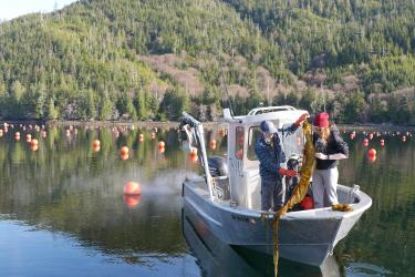
With so much ground to cover, our scientists collect data in a variety of ways, whether it's samples from the water column, or pulling information from satellites, buoys, and autonomous vehicles. There are large research vessels, as well as aerial surveys and drones. All of these different techniques help us capture the information that we need to effectively survey and monitor our marine resources. Listen in for a behind-the-scenes look at surveying Alaska's waters.