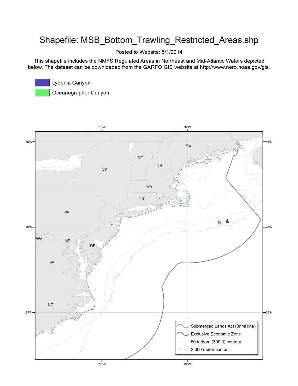
Atlantic Mackerel, Squid, Butterfish Bottom Trawling Restricted Areas
Map depicts the Atlantic Mackerel, Squid, Butterfish Bottom Trawling Restricted Areas in the Greater Atlantic Region.

This dataset depicts the boundaries of the Atlantic Mackerel, Squid, Butterfish (MSB) Bottom Trawling Restricted Areas in ESRI shapefile format for the NOAA Fisheries Service’s Greater Atlantic Regional Fisheries Office (GARFO). This shapefile includes boundaries for the following Regulated Areas:
- Oceanographer Canyon
- Lydonia Canyon