Unsupported Browser Detected

Internet Explorer lacks support for the features of this website. For the best experience, please use a modern browser such as Chrome, Firefox, or Edge.

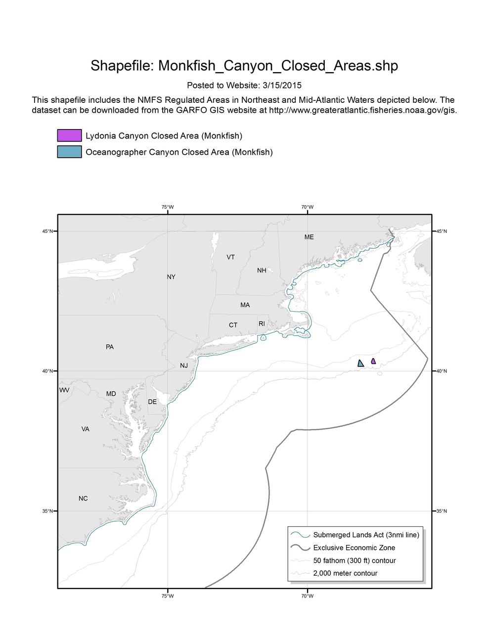
Monkfish Canyon Closed Areas Map & GIS

Map depicting Monkfish Canyon Closed Areas in the Greater Atlantic.

Monkfish_Canyon_Closed_Areas_MAP.jpg

This shapefile includes boundaries for the following Regulated Areas:
- Oceanographer Canyon Closed Area (Monkfish)
- Lydonia Canyon Closed Area (Monkfish)

Last updated by Greater Atlantic Regional Fisheries Office on 10/18/2019