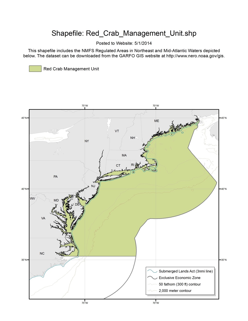
Red Crab Management Unit Map & GIS
Map depicting Red Crab Management Unit in the Greater Atlantic Region.

The Atlantic deep sea red crab fishery is managed in the U.S. from roughly the latitude of Cape Hatteras Light, NC, northward to the U.S.-Canada border, extending eastward from the shore to the outer boundary of the exclusive economic zone and northward to the U.S.-Canada border.