A main goal is to maximize data collection efficiency to provide managers with the best information possible to make decisions. Three components currently collaborate with NOAA Fisheries: SEAMAP-Gulf, SEAMAP-South Atlantic, and SEAMAP-Caribbean. Each component operates independently, planning and conducting surveys, and disseminating information in accordance with cooperatively established administrative policies and guideline.
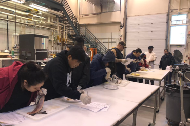
Congress has allocated SEAMAP funding since 1983. Funds are obligated annually to the southeastern states for surveys and studies via multi-year cooperative agreements. NOAA Fisheries staff review and evaluate proposals based on technical merit, soundness of design, ability of the applicant to perform the proposed work, potential contribution of the project to national or regional goals, and appropriateness of proposed costs. We use a portion of the funding for our segment of the survey work, plankton sorting, and administrative responsibilities.
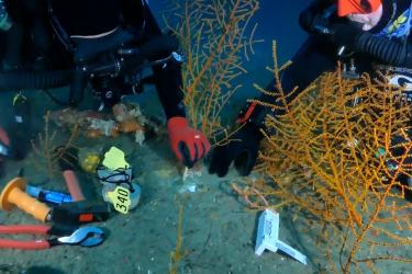
Surveys of shrimp, groundfish, plankton, and reef fish are conducted in the Gulf of America (formerly Gulf of Mexico). Shallow-water trawl and long-line surveys, a survey of Pamlico Sound, fish habitat characterization, and data management are the major activities in the South Atlantic. Spiny lobster and queen conch surveys and reef fish monitoring are important efforts in the Caribbean. Surveys by individual components reflect distinct regional needs and priorities, but surveys in one area often provide data important to researchers in other geographic regions.
The Catalog of Federal Domestic Assistance (CFDA) provides a full listing of all available federal assistance programs.
Contact Us:
(727) 551-57-31
Fisheries Grants Program Officer
Kelly Donnelly

