Refine Results
Topic
Species Category
Region

Pelagic Fish Results

17 results match your filter criteria.

Unleashing American Commercial Fishing in the Pacific

Commercial fishing is no longer prohibited from 50–200 nautical miles around Johnston Atoll and Wake and Jarvis islands, pursuant to a new Presidential Proclamation.
April 25, 2025 -

The Role of Small Pelagic Fish in Diverse Ecosystems: Knowledge Gleaned From Food-Web Models

Food-web models represent a synthesis of knowledge of these dependencies and are a platform for evaluating the consequences of change in small pelagic fish productivity.
December 01, 2024 - Peer-Reviewed Research ,

Changes to Pacific Bigeye Tuna Longline Catch Limit

NOAA Fisheries announces an interim final rule establishing new limits on U.S. longline catch of bigeye tuna. The limits apply to bigeye tuna caught in the U.S. exclusive economic zone (EEZ) and on the high seas in the Western and Central Pacific…
Effective
07/09/2025
Species and Habitat App

Web mapping app that displays and queries spatial data in the West Coast Region for Endangered Species Act ranges, critical habitat designations, and Magnuson-Stevens Act essential fish habitat. Users can generate a printable spatial query report.
April 28, 2024 - Map ,

Hawaiʻi Pelagic Fisheries Market Analysis

A report providing summaries of Hawaiʻi commercial pelagic landings, ex-vessel prices, local Hawaiʻi and domestic U.S. consumption, international trade, and market substitutes, focusing on Pacific Island Region pelagic management unit species (PMUS).
May 10, 2022 - Technical Memo ,

Small Pelagic Fish in the New Millennium

We review the literature to reveal emerging global research trends on small pelagic fish, as opposed to more recently published, ecosystem-specific reviews, to better understand a vital role in global food security
February 01, 2021 - Peer-Reviewed Research ,

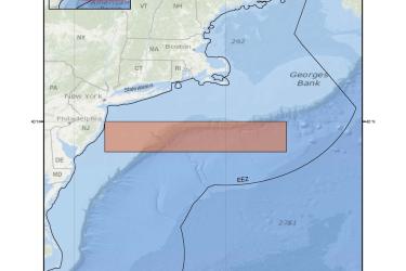
Northeastern United States Closed Area Fishery Management Area Map & GIS Data

Map and GIS data representing the Northeastern United States pelagic longline closed area in the South Atlantic Region.
June 26, 2019 - Map ,
PelagicLL_NE.jpg

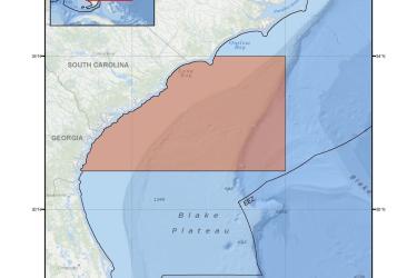
Charleston Bump Closed Area Fishery Management Area Map & GIS Data

Map and GIS data representing Charleston Bump pelagic longline closed area fishery management area in the South Atlantic Region.
June 26, 2019 - Map ,
PelagicLL_Charleston.jpg

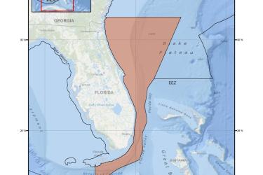
East Florida Coast Closed Area Fishery Management Area Map & GIS Data

Map and GIS data representing the East Florida Coast pelagic longline closed area fishery management area in the South Atlantic Region.
June 26, 2019 - Map ,
PelagicLL_EFL.jpg

Coastal Migratory Pelagic Essential Fish Habitat (EFH) Map & GIS Data

Map and GIS data representing EFH for coastal migratory pelagic resources in the Gulf of America* (formerly Gulf of Mexico).
June 25, 2019 - Map ,
map-coastal-migratory-pelagic-EFH-GoMex-SERO.jpg