NOAA’s Deep Sea Coral Research and Technology Program has completed its multi-year highly collaborative effort, known as the Southeast Deep Coral Initiative. Initiative collaborators explored and characterized deep-sea coral and sponge ecosystems in the federal waters of the U.S. South Atlantic, Gulf of Mexico, and U.S. Caribbean. Researchers completed 21 expeditions to survey deep-sea coral and sponge ecosystems using ships, submersibles (including remotely and autonomously operated vehicles), and other equipment. Complementary research projects conducted in partnership with universities focused on seafloor mapping, species identification, habitat suitability modelling, environmental and oceanographic monitoring, and data analysis.
Initiative Highlights
Coral and Sponge Observations
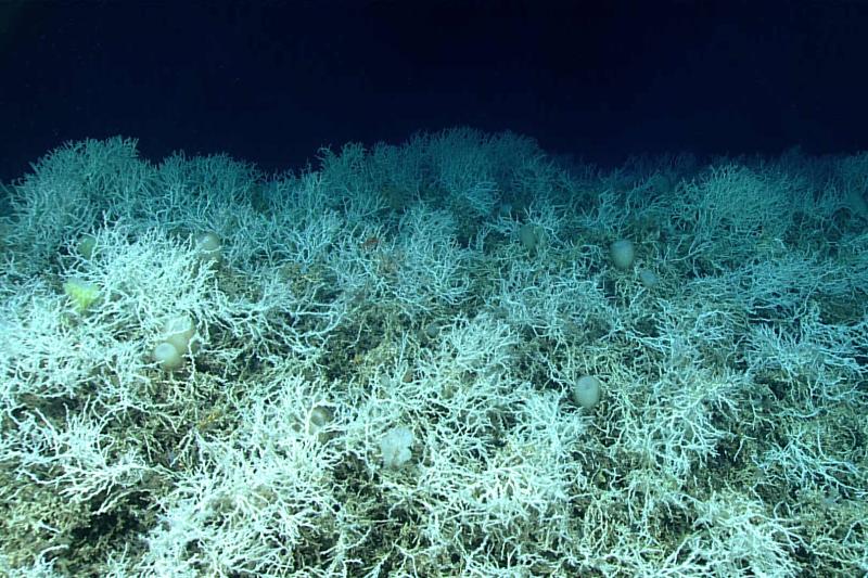
Expeditions resulted in a 450 percent increase in the number of coral and sponge observations in the West Florida Wall. This area is of particular interest to the Gulf of Mexico Fishery Management Council due to its significant coral aggregations. These records informed the Council’s decision to combine three small proposed protected areas into one much larger and more effective one.
Massive Coral Mounds
Mapping revealed that the central Blake Plateau, which was originally thought to be soft sediment, is actually covered with extensive mound features. They are composed primarily of Lophelia pertusa coral communities. Researchers have named this ecosystem “Million Mounds” and it contains some of the thickest Lophelia aggregates in the region.
Video of Deep-Sea Coral Habitats
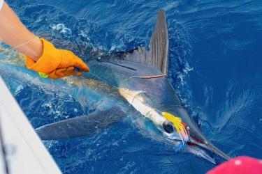
In a collaborative research project in Puerto Rico, local anglers deployed GoPro™ drop cameras to record video of deep-sea habitats. The project improved the understanding of relationships between commercially important snappers and coral and sponge communities.
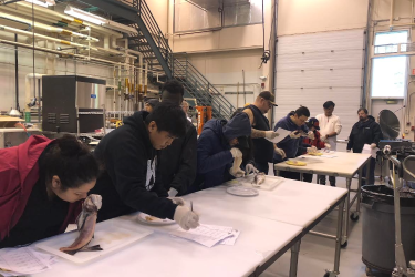
Successful telepresence-enabled expeditions allowed real-time participation from shore. Scientists involved more than 45 students, from the high school to Ph.D. level. They invited them to viewings and held laboratory classes to give the students hands-on experience with deep-sea corals.
Public Geodatabase
Researchers developed a web-accessible public geodatabase to share habitat suitability models, coral and sponge observations, submersible dive locations, and managed area boundaries.
These collective efforts provided important information needed to support the management of fishing and other activities that may affect deep-sea coral ecosystems throughout the region.
Expanding Partnerships
The Southeast Deep Coral Initiative, which began in 2016, was led by NOAA’s National Centers for Coastal Ocean Science, in collaboration with NOAA Fisheries, NOAA Ocean Exploration and the Office of National Marine Sanctuaries. This effort was made possible through a variety of funding sources, and extensive local, academic, and federal partners. NOAA has published the final initiative report.


