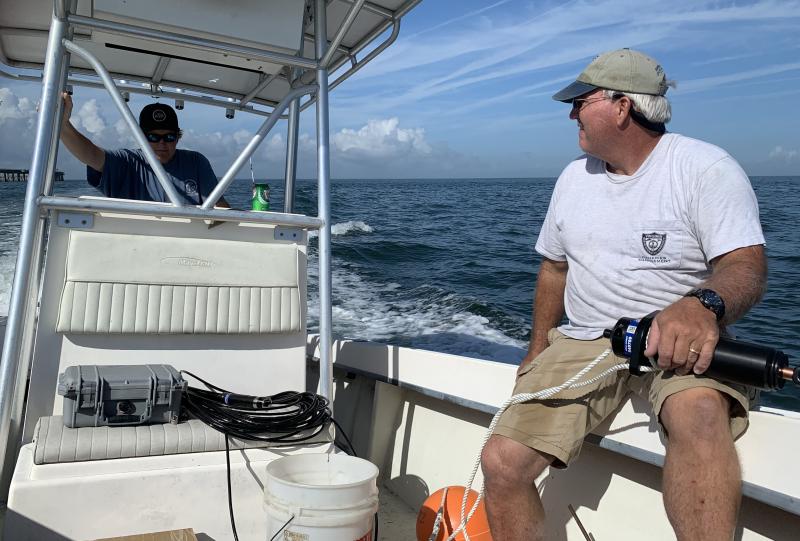
Scientists seeking to learn more about how fish use the Chesapeake Bay, such as where and when they migrate, now have a new tool to use. A system of 12 acoustic telemetry receivers was recently deployed at the southern end of the Chesapeake Bay.
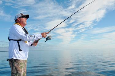
Some fish have small tags attached (either externally or via surgical implant). The receivers track when these tagged fish swim near them. The technology is like that used in electronic toll collection systems for cars and trucks.
The acoustic telemetry receivers can “hear” a tagged fish from up to a kilometer away. The small computer in the receiver then logs information about when the fish was “heard.” Data from the receiver is downloaded to a database on shore.
More Receivers Means More Data

The NOAA Chesapeake Bay Office is helping researchers increase knowledge about fish, their migrations, and how they use different habitat areas in the Chesapeake Bay. We are working with partners to establish more arrays of acoustic telemetry receivers. We are also partnering to make the database of information the receivers collect more accessible and useful for researchers.
The newest array includes 12 receivers that are stationed in a line across the mouth of the Chesapeake Bay. Each receiver is anchored to the bottom and also has a float attached so that it stays vertical in the water. The float stays well below the surface of the water. Our partners at the Virginia Marine Resources Commission will help us maintain the receivers and go out regularly to download the data from their computers.
About halfway up the Bay, by the Chesapeake Bay Bridge near Annapolis, we are establishing a second array that will span the Chesapeake. Many species—like striped bass—use fresher water habitats north of the Bay Bridge for spawning areas. It will help researchers to learn more about which fish cross this north-south line, and at what times of the year. The Maryland Department of Natural Resources will maintain this set of receivers and download their data.
We are also working to set up a smaller array of receivers in the Choptank River area on Maryland’s Eastern Shore, near large-scale oyster restoration projects. That could help scientists learn more about how fish use areas near restored oyster reefs.
Also, the NOAA Chesapeake Bay Interpretive Buoy System houses a receiver on each of its buoys. The CBIBS buoys provide additional information on water conditions at the exact time the fish was detected because they update conditions every 6 minutes. That lets fish researchers understand the water temperature, salinity, and more the fish are experiencing when they are near the CBIBS buoy.
A key step in the process is making sure that researchers can access their data. The Smithsonian Environmental Research Center manages the ACT Network’s Mid-Atlantic Acoustic Telemetry Observing System (MATOS) to house all that data.
Projects currently under way using MATOS are researching species including:
- Striped bass
- Endangered Atlantic sturgeon
- Cownose rays
- Blue catfish
- Stingrays
- Horseshoe crabs
- Common carp
- Four kinds of shark
Researchers have tagged more than 2,650 animals of 30 different species for their projects. There have been more than 7 million tag detections!
All that information will help researchers learn more about how different fish species use different parts of the Chesapeake Bay for habitat. They want to understand what parts of the Bay fish use for spawning and feeding. And scientists are learning more about how climate change may cause the range of different species to shift, too.
A unique feature of MATOS is that researchers can keep their data private or share it with other researchers or the public.
We’re looking forward to learning more from the scientists who use acoustic telemetry and access data through MATOS. And we’re eager to share their findings with you as we hear about them, too!