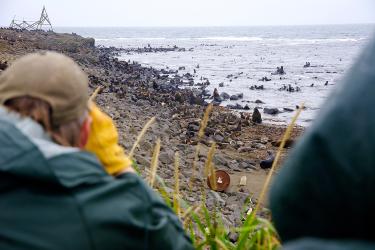
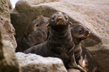
Addressing Challenges In Communicating Arctic Climate Research
It's common to hear the word “adaptation” alongside climate research. However, it can be difficult to determine what adapting to climate change means. Here, AFSC scientists share their thoughts on the definition of climate adaptation by U.S. Fisheries.