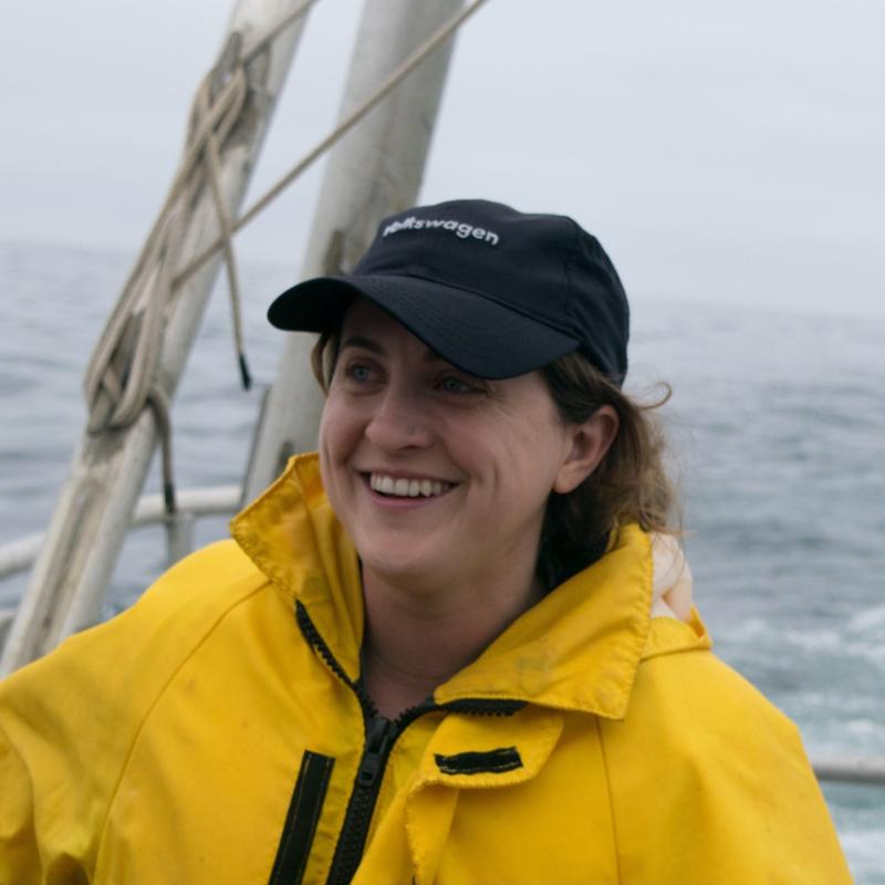
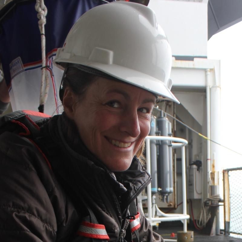
Sampling aboard the NOAA ship Bell M. Shimada has been progressing smoothly and we have completed two of our highest priority transects: the Newport Hydrographic Line and the Crescent City Line off northern California. The Crescent City Line is important because it is south of Cape Blanco, a known biogeographic break, where upwelling is generally weaker to the north and stronger to the south- possibly fueling different plankton communities.
Along the Newport Line, we encountered warm surface water from 200 nm offshore to nearshore. On Monday we were sampling 150 miles off Crescent City and encountered 18°C surface water with a physical signature similar to what we came across on the Newport Line. However, by our next offshore station, 125 miles offshore, surface waters were 16°C and they continued to cool as we moved onshore. At our most nearshore station, the water column was well-mixed and surface water was closer to 11°C.

MODIS satellite image of sea surface temperature (left) and chlorophyll (right) from September 24, 2019. Warmer surface temperatures appear north of Cape Blanco compared to south of Cape Blanco where we were just sampling (yellow star) along the Crescent City Line. There is also very high chlorophyll along the Washington coast where we will be sampling in the upcoming days.
After downloading the recent MODIS satellite image (thanks to Maria Kavanaugh who is onboard), we could see from the image that south of Cape Blanco the surface waters are cooler than north of Cape Blanco, and there was a distinct filament of cooler water being advected off Cape Blanco. Interestingly, while processing one of the offshore samples off Crescent City, we found species that we'd normally encounter nearshore. Possibly they were transported offshore via this jet?
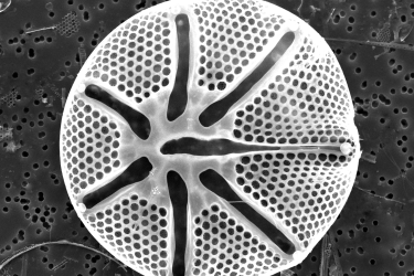
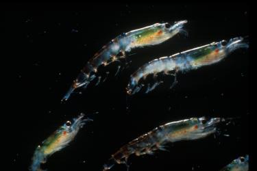
The plankton community along the Crescent City Line was also more dynamic compared to Newport. We caught large euphausiids at several offshore stations and larger copepods, including mature Calanus at nearshore stations. Historically, for our NCC surveys, we see a significant uptick in krill abundance along the Crescent City Line. Dinoflagellates still dominated the phytoplankton community, but we sampled a community with abundant diatoms at our two most nearshore stations.

Plankton samples from the Crescent City Line ordered from inshore (left) to offshore (right). Samples collected on the shelf and shelf break are on the bottom and samples collected offshore in oceanic waters are on the top. Photo: NOAA Fisheries
We shall see what our samples look like as we continue the survey and head north of Cape Blanco, into what the satellite image says is warmer waters with high chlorophyll concentrations.