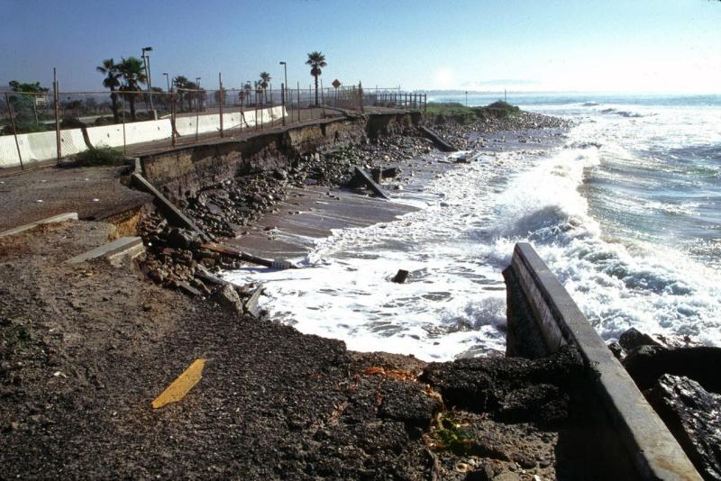
The National Fish and Wildlife Foundation, supported by funding from NOAA, released multiple reports and an online mapping tool focused on assessing resilience along the coastline of the contiguous United States.
The reports and tool summarize available data to help understand areas where habitat conservation could provide protection to human communities and infrastructure vulnerable to coastal storms, sea-level rise and flooding events.
A highlight of the assessments is the Coastal Resilience Evaluation and Siting Tool (CREST). It allows planners, stakeholders, and the public to visualize the assessment results. Users can view national-level data from five coastal regions assessed, and additional locally-specific data in eight targeted watersheds for a more comprehensive look at resilience in those areas.

Regions assessed include the west coast from Washington to California, east coast from Maine to Florida, and all five state coasts along the Gulf of Mexico. The eight targeted watersheds are:
- Portland and Midcoast Maine Watersheds in Maine.
- Narragansett Bay and Coastal Rhode Island Watersheds in Massachusetts and Rhode Island.
- Delaware Bay and Shores Watersheds in New Jersey and Delaware.
- Cape Fear River Watershed in North Carolina.
- Charleston Harbor Watershed in South Carolina.
- Savannah River Watershed in South Carolina and Georgia.
- Jacksonville and the Lower St. Johns River Watershed in Florida.
- San Francisco Bay and Outer Coast Watersheds in California.

Along with funding, NOAA provided technical support for this effort. Additional partners include the U.S. Army Corps of Engineers, the National Environmental Modeling and Analysis Center at the University of North Carolina at Asheville, and NatureServe, a non-profit conservation science organization.
Various local organizations and experts also provided data and technical support in the targeted watersheds. The assessments and online mapping tool are available at the National Fish and Wildlife Foundation website.


