NOAA Fisheries has a new data visualization tool that provides abundance indices for 25 species in the Gulf of America (formerly Gulf of Mexico) and 18 species in the southeastern U.S. Atlantic. Species include numerous snapper, grouper, amberjack, triggerfish, mackerel, sharks, shrimp, and more!
Explore the Southeast Abundance of Fish and Shrimp Data Visualizer
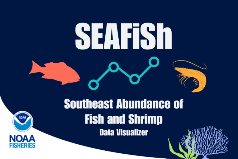
Called the Southeast Abundance of Fish and Shrimp Data Visualizer, or SEAFiSh, the tool provides easy access to the most up-to-date relative abundance information. The information is available to fishery managers, commercial and recreational fishing communities, researchers, and other contributors to the management process. This will assist with effectively responding to changes in the abundance of key species.

SEAFiSh provides updated indices of abundance—a key component of stock assessments—to aid in identifying population trends. Formal stock assessments for any particular species are typically separated by several years. This tool provides abundance data as soon as they become available, enabling fishery managers access to the data needed to manage species more responsively.
How to Use SEAFiSh

Users can choose the species’ common name or species group (for example, snapper, grouper, shrimp, or sharks), and region to narrow down their search. The data show how abundance during certain life stages has changed over time.
Each figure identifies which fishery-independent survey is the source of the data and the life stage of the species selected. Species data may come from more than one source and may be available for multiple life stages per region. We will continue to update the tool as new data become available.
Data Sources

Fishery-independent surveys are scientist-led and use consistent methods to study how populations and ecosystems are changing over space and time. Several fishery-independent surveys conducted by NOAA’s Southeast Fisheries Science Center and partners contribute data to the tool, including:
- Southeast Fisheries Science Center Bottom Longline Survey
- SEAMAP Summer and Fall Groundfish Surveys
- SEAMAP Spring and Fall Plankton Surveys
- SEAMAP Reef Fish Video Survey
- South Atlantic Trap-Video Survey
During the surveys, we collect environmental and habitat data, in addition to species-specific information on:
- Abundance
- Distribution
- Size and age composition
- Sex ratio
The data collected support stock assessments for numerous stocks in the Gulf of America and southeastern U.S. Atlantic regions.
Not a Stock Assessment
While SEAFiSh will be a helpful tool for stock assessment analysts, it is not a replacement for a stock assessment. The relative abundance indices it provides are only one part of the data used in stock assessments. They are not indicative of official stock status determinations (such as whether a stock is overfished, or undergoing overfishing). These determinations require additional information such as life history parameters, landings, and length and age compositions.
What is Relative Abundance?
The gear types we use may not perfectly measure abundance (for example, fish traps and longline gears do not catch all the fish in their area of deployment). We interpret our abundance estimates relative to each other, and refer to them as relative abundance estimates. For example, if our abundance estimate for a focal species in one year

was 20 percent higher than the estimate from the previous year, we would conclude that the abundance of that species had increased by 20 percent between the 2 years. But we may not know the true, or absolute, abundance value for either year.
Learn more about fishery-independent indices of abundance and what to know before using these data.
We hope you enjoy exploring SEAFiSh!


