2020 Hydrographic and Plankton Cruise Directory
July 14, 2022
Ecosystem Monitoring of the Northeast U.S. Continental Shelf
Despite delays caused by the 2020 global pandemic, we completed coverage of the Mid-Atlantic region in the late winter.
Spring Bottom Trawl Survey - HB2001
|
Image

|
|
|
Image

|
The survey ended prematurely when the pandemic delayed all surveys in mid-March. However, the survey provided complete coverage of the Mid-Atlantic region from south of Cape Hatteras, North Carolina, to Long Island, New York. Although unusual for the spring bottom trawl survey, we have missed regions of sampling in the past. We are developing methods to bridge these data gaps. For details on the conductivity, temperature, depth profiler data collected during this cruise, check out the HB2001 Hydrographic Data report. |
Northern Right Whale Survey - GM2002
|
Image

|
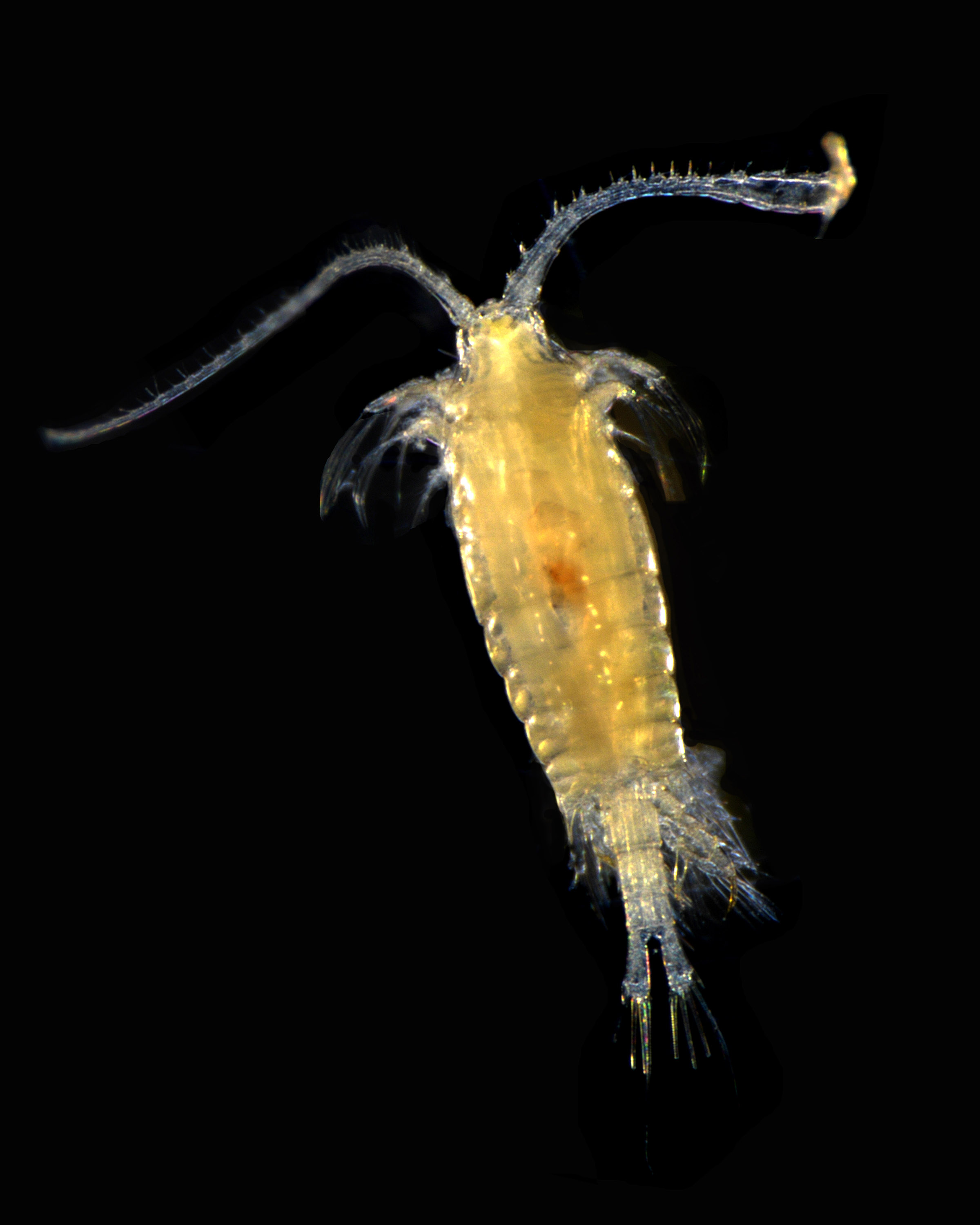
The overall objective of this survey was to collect samples of the planktonic prey and the environment near North Atlantic right whales in the southern New England region. We want to know what prey species are most abundant and why, so we can understand the needs of large whales in the area. For a detailed description of the at-sea operations and analyses, check out the 2020 Annual AMAPPS III Report. For details on the CTD data collected during this cruise, check out the GM2002 Hydrographic Data report. |
Northern Shrimp, Spring, Summer, and Fall Ecosystem Monitoring, and Autumn Bottom Trawl Surveys Canceled
Six additional cruises would normally collect hydrographic or plankton data throughout the rest of the year. We evaluated each cruise individually, but ultimately canceled them while we developed safety protocols and learned more about how coronavirus is transmitted.
Over the long history of our sampling, we have missed some seasons and the number of annual surveys has varied. We have developed analytical methods to bridge these data gaps.
The following announcements further describe the decisions made for:
- The summer EcoMon, autumn bottom trawl, and Northern shrimp surveys
- The Fall Ecosystem Monitoring survey
- The sea scallop survey
- An advanced technology survey investigating the ocean’s mesopelagic layer
Learn more about the Northeast U.S. Hydrographic and Plankton Surveys