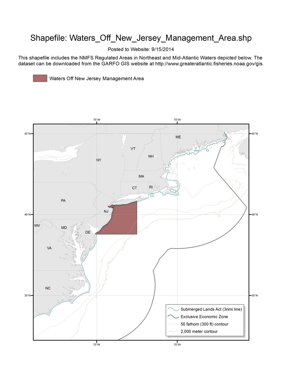
Waters off New Jersey Management Area
Map and GIS data representing the regulated waters under Harbor Porpoise Take Reduction Plan for the Waters off New Jersey Management Area.

We implemented the Harbor Porpoise Take Reduction Plan to reduce interactions between harbor porpoise and commercial gillnet gear capable of catching multispecies in both the New England and the Mid-Atlantic.The Plan has several components including restrictions on where, when, and how gear can be set. In some areas the Plan requires the use of acoustic deterrent devices called Pingers.
These maps and corresponding Geographic Information Systems (GIS) shapefile data represent management areas.
The Federal Register should be consulted for the precise legal definition of the management areas and geographic coordinates.