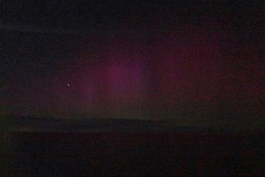
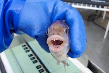
Field scientist Emma Fowler shares her top seven moments on the Spring Gulf of Maine Bottom Longline Survey onboard F/V Mary Elizabeth—from largest to smallest in scale.
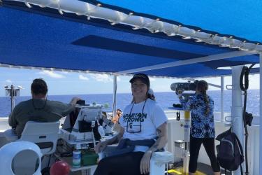
Michaela Kratofil, an Oregon State University Ph.D. student, was invited to be a visiting scientist in 2023. She shares her experience from the high seas collecting the field data that will ultimately go into her dissertation research.
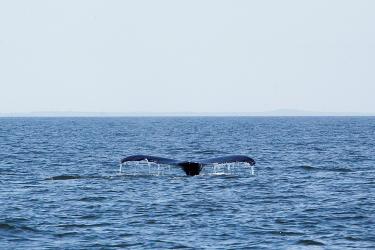
Data demonstrating regular trans-Pacific movements of humpback whales in the North Pacific, highlighting the importance of Mexico for the species ocean-basin-wide.
Field biologist Emma Fowler shares more sights and scenes, unusual finds, and other fun surprises from the 2023 spring Gulf of Maine Bottom Longline Survey.
Marine mammal bycatch is a significant anthropogenic threat to recovering populations. Gear reduction in Washington (USA) crab fishery decreased entanglement risk to whales.
Cooperative Research field biologist Emma Fowler blogs about her work aboard the F/V Darana R for the fall Northeast Trawl Advisory Panel restrictor rope trawl study.
This dataset depicts the boundaries of the South Island Restricted Area in effect annually from February 1-April 30 in ESRI shapefile format for the NOAA Fisheries’ Greater Atlantic Regional Fisheries Office (GARFO).
This dataset depicts the boundaries of the Massachusetts Restricted Area in effect annually from February 1 to April 30 in ESRI shapefile format for the NOAA Fisheries Service’s Greater Atlantic Regional Fisheries Office (GARFO).
This dataset depicts the boundaries of the Lobster Management Area One Restricted Area in effect annually from October 1 to January 31 in ESRI shapefile format for the NOAA Fisheries Service’s Greater Atlantic Regional Fisheries Office (GARFO).