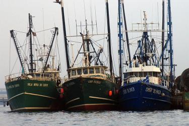
The Gulf of Maine Cooperative Bottom Longline Survey has been conducted from two commercial fishing boats each spring and fall since 2014 by the science center’s Cooperative Research Branch. At each station environmental conditions are collected by sensors and a baited longline (1 nautical mile in length) is set and retrieved. Scientists then remove catch from the line and weigh, measure, and collect biological samples from the fish that come onboard.

Spiny dogfish, cusk, and haddock were the largest components of the catch, consistent with what has been seen in earlier surveys. Other species commonly caught included thorny skate, Atlantic cod, barndoor skate, white hake, and red hake. This season we also caught 17 Atlantic wolffish and seven Atlantic halibut. Both species are considered “data-poor” in terms of stock assessments. Staff also observed multiple instances of porbeagle sharks eating fish off the line.
Survey Operations
Hooks on Camera
This spring, each boat was again outfitted with electronic monitoring video cameras mounted at strategic points. Reviewing the footage from these cameras will allow fisheries biologist Lindsey Nelson to evaluate the disposition of the hooks at haul back—fish captured, bait remaining, or empty hook. Her study will investigate how best to evaluate the availability of hooks, how that availability affects variation in catches of certain species, and how this may differ among bottom types or sampling regions.

New Equipment
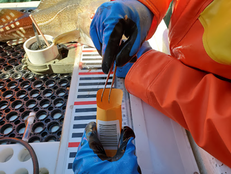
In the fall 2020 survey we introduced a new tablet-based data collection system designed to ease input and improve data quality. This spring, a new version of the application incorporated bug fixes and integrated a new model of motion-compensated digital scales. The new scales, used to weigh all of the fish that come onboard, communicate with the tablet through Bluetooth and represent a significant update to the instruments deployed on this project.
Survey Data Use
The Gulf of Maine Bottom Longline Survey stations are located in areas of rough bottom, places where fish typically hide and are hard to sample with trawl gear. A number of commercially important fish species—including cusk, wolffish, and Acadian redfish among others—prefer these habitats. To keep these fisheries sustainable, managers need accurate stock assessments, which require the data this survey provides.
During the ongoing haddock research assessment track, data from this survey were included and evaluated in several model runs. Last fall, reviewers at the Atlantic wolffish management track assessment recommended that assessment scientists explore using the bottom-longline survey index in the model in the next research track assessment for that species.