Remote underwater gliders—or underwater drones—present opportunities for all kinds of data collection and oceanographic research. They're incredibly cost effective, requiring less staff and equipment than traditional methods. They can remain deployed longer than a ship can be out, and they can go places where a ship can't go. And, you can pilot them anywhere with a laptop and an internet connection—even from your couch!
On our latest podcast, we talk with Jen Walsh, a research biologist and glider pilot for the Southwest Fisheries Science Center. She talks about how we're using gliders in remote areas, like Antarctica, and how they're changing the way we collect fisheries data and learn about the ocean.
How Underwater Drones Are Transforming Fisheries Data Collection in Remote Areas
December 05, 2024
Hear how gliders are used to survey Antarctic krill, the foundation of the region's food web.
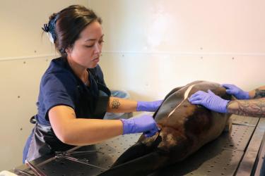
 Glider “Adrian” getting deployed from the R/V Laurence M. Gould. Credit: Andrew Titmus
More Information


Last updated by Office of Communications on December 06, 2024