Field Fresh Blog: Science in Motion
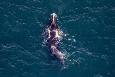
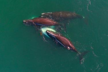
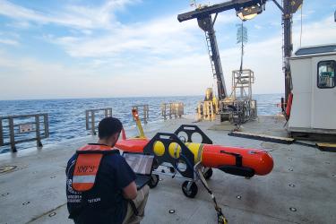
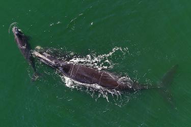
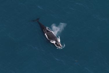
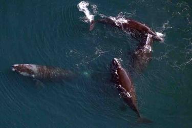
Biological Science Technician Zach Fyke participated in all three legs of the 2024 Atlantic Sea Scallop Survey. He got to see and experience some pretty incredible things, including seeing his first right whale, puffins, a huge halibut, and more.