Logistics, Planning, and We’re Off!
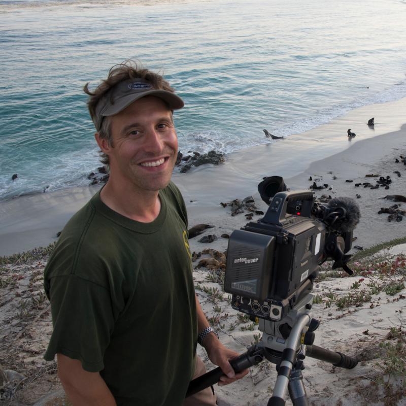
Welcome to the 2022 Spring Mooring Cruise for the EcoFOCI program. This is an impressive operation and, wow, I’m learning a ton.
First off, what does that acronym stand for?
Well, FOCI is Fisheries-Oceanography Coordinated Investigations, which started in 1984 to do just that. That is to couple oceanographic information with fisheries information to help us better understand the health of different fish populations in Alaska relative to their environmental conditions. Eventually, this effort was broadened to include ecosystems research as well, and since EcoFOCI sounds way better than FOCI-Eco, there ya have it.
Fun Fact: the meaning of the word “foci” is the plural of focus, which is fitting because this multidisciplinary approach helps us understand fisheries and ecosystems more clearly.

The goal of this survey is to recover and deploy 17 large moorings (aka. large buoys with scientific instruments and anchors beneath them), sample dozens of predetermined locations, and observe marine mammals and birds along the way. All of this will take place in the Bering Sea north of the Aleutian Islands and south of St. Lawrence Island. In future blog entries, we’ll dive into more detail on the specific science, but what I am initially most impressed with is the amount of planning and logistics that goes into a survey like this. Here’s how it breaks down:
Vessel Time
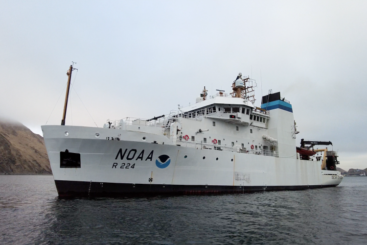
The survey set sail on May 10th on the NOAA Ship Oscar Dyson and was scheduled to run through the 19th. Our time on the vessel is sandwiched between many other research expeditions, including fisheries surveys on Alaska pollock, ice seal research, scheduled ship maintenance, and more. These NOAA ships run 24-hour operations and are staffed with navigation officers, operations officers, medical officers, deck crew, survey technicians, engineers, and stewards. Everyone fills unique and necessary roles to operate the ship and support the science missions.

Order On The Deck
For this particular survey, what awes me the most is the incredible foresight that goes into the mission. The back deck of the ship is jam-packed with gear from massive surface buoys to 4,000-pound cement anchors. The survey includes installation of multiple moorings fitted with oceanographic instruments along chains that dangle beneath them. These instruments hang at specific depths, and palettes of anchor chains are labeled to go with each mooring. All of this equipment is laid out in particular places on the deck so it’s ready to go out in the order that it will be deployed.

Now that we are underway, the deck crew has to be creative to use the available space to deploy the right things at the right times as we prepare for each buoy deployment.
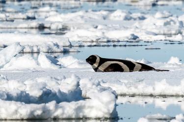
And while the name of this survey has “mooring” in it, there’s a lot going on besides mooring recovery and deployment. Oceanographers will collect data at predetermined stations on many oceanographic measurements such as salinity, temperature, dissolved oxygen, acidity, and nutrients. Fisheries biologists will collect biological samples of zooplankton (floating animals that eat phytoplankton) plus larval fish, crabs, eDNA and even listen for the presence of whales.
Continue to follow this blog to learn more about what all these intrepid scientists are doing as they traverse the Bering Sea.