NOAA scientists use many technologies to collect and analyze the data needed to manage our ocean resources and habitats. These technologies help us explore remote ocean areas, study endangered species, and ensure we have the information needed to make informed decisions about management and conservation. This allows us to better manage fisheries and support our coastal communities.
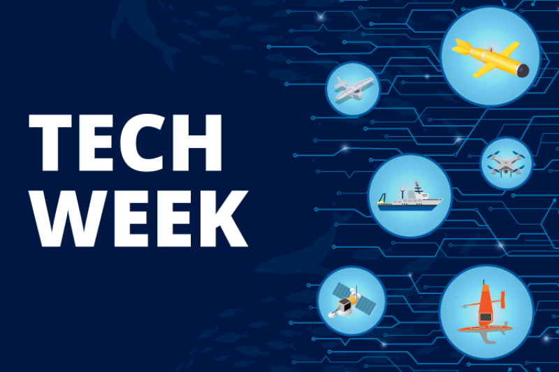
Join us for Technology Week (January 13–17, 2025) as we examine some of these technologies, many of which operate with funding from the Inflation Reduction Act.
How NOAA Fisheries Uses Technology
We are a leader in the use of advanced technologies, but what exactly do we use them for?
Some ocean creatures are difficult to study because they live in remote habitats or have complex life cycles. And to study unique creatures, sometimes scientists need to use unique tools. Our scientists use a range of advanced technologies to gather and analyze data and better understand the science behind healthy ecosystems and marine life. Get familiar with the technology we use to support our mission by reading the features below.
Discover the technologies used by our scientists to study marine species and the environment
Uncrewed Systems
Uncrewed systems allow us to access remote or difficult to reach places. They can be deployed aerially, on the ocean’s surface, and below the waves—supplementing traditional data collection methods and expanding our ability to conduct important research.
Gliders: Collecting Data on Ocean Health
Autonomous vehicles, like gliders, are giving us critical new insights into what is going on in the deeper parts of the ocean. Watch the video below to learn how gliders are collecting key data on ocean health.
Learn how gliders collect ocean data
How Underwater Drones Are Transforming Fisheries Data Collection in Remote Areas
Remote underwater gliders—or underwater drones—present opportunities for all kinds of data collection and oceanographic research. Hear how gliders are used to survey Antarctic krill, the foundation of the region's food web.
Listen to the podcast on glider research in Antarctica

Using Drones and Tags to Study Rice’s Whales
NOAA Fisheries and partners deployed suction cup tags from drones to get an up-close look at the life of these endangered whales.
Learn about Rice’s whale studies using drones and suction cup tags

Glider Piloting with Jen: All Systems Go!
NOAA scientists deploy three underwater gliders to gather important data on Antarctic krill.
Learn about glider research with Jen Walsh

Long-Running Sea Scallop Survey Diversifies for the Future
Our sea scallop survey has been providing data on population status since 1979. Since then, we have used advanced technologies to adapt and diversify our survey methods.
Learn about technologies used for scallop surveying

Optics
“Optics” is the large-scale collection, storage, and processing of images, which helps validate other data sources. Optics plays an important role in helping us to advance data collection using uncrewed systems.
Optics Technology: At the Heart of Marine Research
Videos and images from advanced underwater cameras are a critical component of collecting data. We use this information to make informed management decisions for marine species and habitat.
Explore more about optics technology

Cameras Tell Researchers Where Atlantic Salmon Go to Beat the Heat
Researchers have successfully used cameras operated from a helicopter to map surface water temperatures in Maine’s Narraguagus River. This is an important step toward habitat conservation for endangered Atlantic salmon and other migratory fish.
Learn about research to support habitat conservation for Atlantic salmon

AI Meets Aquaculture to Study Hawaiian Monk Seal Interactions With Net Pens
NOAA Fisheries and Blue Ocean Mariculture are leveraging technology to study Hawaiian monk seal interest in aquaculture net pens in Hawaiʻi.
Learn about Hawaiian monk seal research

Infrared Imaging Helps Compile the First-Ever Color Portrait of Narraguagus River Thermal Habitats
Valerie Ouellet launched a pilot project using specialized infrared camera equipment and a helicopter to map surface temperatures along an entire river system in Maine. The river provides habitat for endangered Atlantic salmon and other migratory fish.
Learn about the use of infrared cameras to study Atlantic salmon habitat

Passive Acoustic Monitoring and Active Acoustics
Sound is the primary way many marine animals communicate and sense information. We record and analyze naturally occurring underwater sounds with (passive acoustic monitoring. We deploy echosounders and analyze the resulting sound waves through active acoustics. This information helps us detect and characterize the physical and biological features of ocean areas.
Listening for Whales: Using Passive Acoustic Monitoring to Track North Atlantic Right Whales
Whales use sound to communicate and find food. Passive acoustic monitoring uses sound to find when and where whales are in the ocean—and with new technologies, we can track them in near-real time.
Watch the video on passive acoustic monitoring and North Atlantic right whales
Monitoring Endangered North Atlantic Right Whales in Near Real-Time by Sound, Air, and Sea
NOAA Fisheries uses the latest technologies, such as passive acoustic monitoring, to detect endangered North Atlantic right whales in near real-time and support the species’ recovery.
Learn about the latest technologies used to study North Atlantic right whales

Ocean Gliders Listen for Whales off Oregon in Test of New Ways to Count Them
Three small autonomous underwater gliders called Seagliders crisscrossed the ocean off the Oregon Coast in recent months. They were listening to underwater sound in trial research to find new ways of tracking and counting whales and other marine mammals.
Learn about underwater gliders used to detect marine species

It’s a Boat, It’s a Plane, It’s a Passive Acoustic Ocean Glider!
Selene Fregosi, a cetacean survey scientist, writes about how underwater gliders help us listen for whales.
Read Selene’s science blog on underwater gliders

Remote Sensing, Satellite Data, and Artificial Intelligence
“Remote sensing” refers to the science of deriving information about the earth’s land and oceans from images acquired at a distance, such as satellite imaging and aerial photography.
Podcast: How NOAA Satellites Monitor Ocean Health: Tracking Changes from Space
Satellites provide scientists important data they use to manage and protect fisheries and marine mammals.
Listen to the podcast on satellites

Satellite Oceanography
Cutting-edge satellite technology provides NOAA Fisheries scientists and managers with the most accurate data so they can make informed decisions about the management of our marine resources.
Learn more about satellite oceanography

Satellite Tags Help Confirm Foraging Grounds for Leatherback Sea Turtles
Scientists find evidence of critical feeding grounds for endangered leatherback turtles along the U.S. Atlantic coast by studying movement behavior with satellite tags.
Learn about satellites tags used for leatherback sea turtle research

Uncrewed Vehicles Hold Promise for Ocean Data Collection in Difficult-to-Reach Areas
A team of ocean researchers sent an uncrewed submarine-shaped vehicle packed with scientific electronics into offshore wind farm areas off southern New England. It could be an important step toward a safe, efficient solution for monitoring marine life and habitats in places where our larger research vessels and aircraft can’t operate.
Learn about the use of uncrewed vehicles to monitor marine life and habitats

Omics
‘Omics is the analysis of genetic material obtained from an organism. This genetic material could be extracted directly from an organism or taken from the biological traces that an organism leaves behind, known as environmental DNA analysis. ‘Omics uses a suite of cutting-edge technologies to identify organisms, understand their behavior, and predict shifts in their population structure. This allows NOAA Fisheries to obtain critical data in more efficient and inexpensive ways.
Environmental DNA Might Be A New Way to Measure the Amount of Fish Present
NOAA Fisheries scientists and partners show that it is possible to estimate fish biomass for more than one species at the same time using environmental DNA.
Learn about the novel approach to study fish DNA

Genetic Diversity in Alaska Red King Crab May Provide Resilience to Climate Change
New genetic research on the Alaska red king crab reveals previously undiscovered diversity among different regions, suggesting the species is more resilient to climate change and changing ocean conditions.
Learn about genetic research on Alaska red king crab


