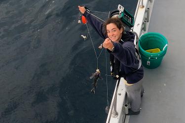
Fisheries biologist Lindsey Nelson shares a little about what goes into developing a new cooperative research fisheries survey with the help of the recreational fishing industry.
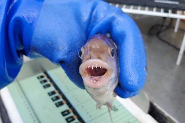
National Systematics Lab research zoologist Katherine Bemis shares her team’s work and 60 of their favorite marine species in celebration of the Bottom Trawl Survey’s 60th anniversary.
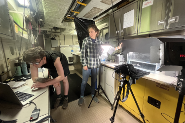
Cooperative Research field biologist Emma Fowler blogs about her work aboard the F/V Darana R for the fall Northeast Trawl Advisory Panel restrictor rope trawl study.
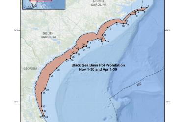
Map and GIS data representing the seasonal closure of the commercial black sea bass pot component of the snapper-grouper fishery for November 1-30 and April 1-30 in the South Atlantic Region.
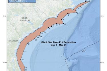
Map and GIS data representing the seasonal closure of the commercial black sea bass pot component of the snapper-grouper fishery from December 1 through March 31 in the South Atlantic Region.