Deep-See cruise: July 29, 2019
We've worked the kinks out and are starting to settle into a research schedule for studying the deep scattering layers in the mesopelagic zone, or more affectionately, the ocean twilight zone. We have a number of coordinated projects sampling everything from physical oceanography to nutrients to fish and using, I think, every sampling and scientific system on board. This cruise is a collaborative effort between the Northeast Fisheries Science Center, the NOAA Ship Henry B. Bigelow, and the Woods Hole Oceanographic Institution.

The primary tool we're using is "Deep-See," a novel combination of 8 different acoustic systems spanning 1-500 kHz, a variety of cameras (holographic, stereo, video, and still), underwater irradiance, and oceanographic (CTD, transmissivity) instruments, as well as biological sampling systems with pumps and filters for collecting eDNA samples.

All are packaged in the Deep-See, a towed vehicle that can be positioned anywhere in the water column to map distributions over large spatial scales, and to image the animals inhabiting the deep-scattering layers at fine resolution.
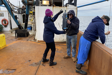
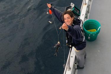
We're also using MOCNESS nets and mid-water trawls to capture animals. An aquarium in the trawl 's cod end helps minimize damage to animals caught, while stereo cameras in the trawl can photograph the animals in place. This helps provide clearer images for identification.
Zooplankton and fish samples are being processed and flash frozen for genetic workup and diet analyses later. The CTD casts to 1000 meters (roughly 3,300 feet deep) are characterizing oceanographic conditions, and water samples from the Niskin-bottles are being used to investigate the potential of eDNA for detecting organisms from zooplankton to "jellies" to fish.
In-situ water samples and flow-through sea-surface water systems are providing water for an Imaging FlowCytobot which can capture high-resolution images of phytoplankton and microzooplankton. A custom-built Equilibrium Inlet Mass Spectrometer is monitoring oxygen and argon concentrations in the water.
We're south of the Cape, off the shelf in about 3,000 meters (about 9,850 feet) of water. So far we have been taking advantage of fantastic weather, and Dennis and Ray in the ship's galley have been keeping our bellies happy. Everyone is working together really well to keep the science moving.
Mike Jech
Northeast Fisheries Science Center
Co-chief Scientist, HB19-07
Aboard the NOAA Ship Henry B. Bigelow