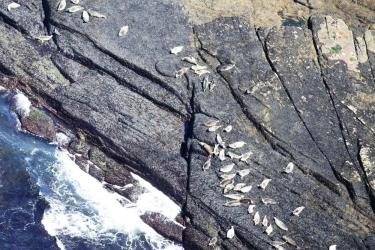
The Northeast Fisheries Science Center recently completed an aerial survey of harbor seals along the entire coast of Maine, the first since 2012. A NOAA Twin Otter aircraft covered the area in six days, surveying nearly 1,000 locations during harbor
New computer-generated daily maps will help fishermen locate the most productive fishing spots in near real-time while warning them where they face the greatest risk of entangling sea turtles, marine mammals, and other protected species.
Ocean conditions off most of the U.S. West Coast are returning roughly to average, after an extreme marine heatwave from about 2014 to 2016 disrupted the California Current Ecosystem and shifted many species beyond their traditional range.